This geological mapping activity is one of the efforts to support the increase of coal production and the development plan of new PLTU in South Sumatra.

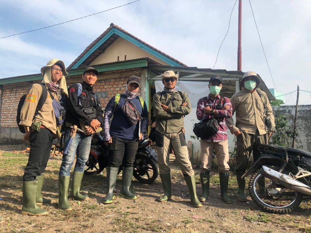
The UGRG team resumed its observation and sampling activities in the field. The fieldwork this time was a geological mapping conducted in the Tanjung Enim area, South Sumatra. This mapping activity is a form of cooperation between the UGRG Team and one of the coal mining companies to encourage increased in coal production and support the development of a new Steam Power Plant (PLTU) in the South Sumatra region
The new PLTU is targeted at generating electricity with a capacity of 2 x 620 MW. In addition, the company has also operated the PLTU 266 MW Banjarsari and is a supply about 1.5 million tons coal fuel per year. Because a lot of coal production need to be fulfilled by the company, it is necessary to further research on the potential of coal to drive increased in coal production.
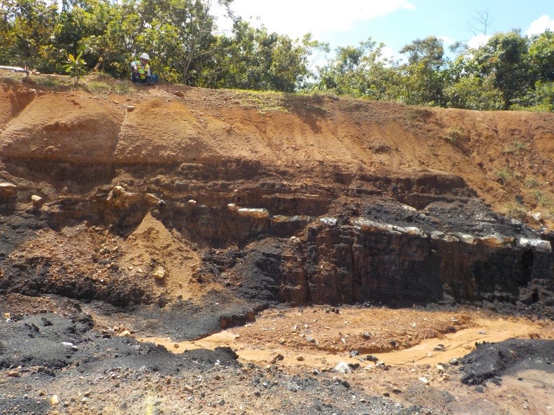
The mapping team were consist of six people which performed a mapping for approximately two weeks. Activities undertaken in the geological mapping include rock identification, rock-lining measurements, stratigraphy measurements, and sampling. Furthermore, laboratory and studio work was also taken to make geological maps, research area stratigraphy, and calculation of coal reserves.
The field condition faced by the team during mapping was the natural forest environment of Sumatra which requires mapping teams to explore the forests and rivers to get the necessary geological data. From the results of the mapping it was known that the area still has the potential of coal reserves to boost coal production and support development plans of new PLTU in South Sumatra.

Freshgraduate student of Geological Engineering Department, Universitas Gadjah Mada.


Follow Us!